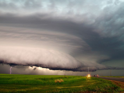
UNIVERSITY PARK, Pa. — In 2020, a line of severe thunderstorms unleashed powerful winds that caused billions in damages across the Midwest United States. A technique developed by Penn State scientists that incorporates satellite data could improve forecasts — including where the most powerful winds will occur — for similar severe weather events.
The researchers reported in the journal Geophysical Research Letters that adding microwave data collected by low-Earth-orbiting satellites to existing computer weather forecast models produced more accurate forecasts of surface gusts in a case study of the 2020 Midwest Derecho. Derechos are lines of intense thunderstorms notorious for their damaging winds.
“The computer model is able to produce a series of forecasts that consistently emphasize the most powerful storms and strongest wind damage at where it happened,” said Yunji Zhang, assistant professor in the Department of Meteorology and Atmospheric Science at Penn State and lead author. “If we have this kind of information in real time, before the events occur, forecasters might be able to pinpoint where the strongest damage is going to happen.”

 MARCH 21, 2024